

Lake Fausse Pointe
Two hundred years ago the Atchafalaya River fanned out into a sprawling labyrinth of waterways as it emptied into the Gulf of Mexico, forming a vast interior lake known as Lake Chitimacha, homeland of the Chitimacha, southern Louisiana’s original inhabitants.
Lake Chitimacha, later known as Grand Lake, was actually more like a series of interconnected lakes, six or seven lakes branching off from one large central body of water. Imagine a Great Lakes situation, on a slightly smaller scale, between St. Martinville and New Orleans. Now imagine a massive earthen wall built right through the heart of that Lake, leaving two of the smaller lakes outside the wall and the rest of the lakes inside the wall. This is what happened when the West Atchafalaya Protection Levee came carving through the Basin in the early 1930s.

1853 Military Map
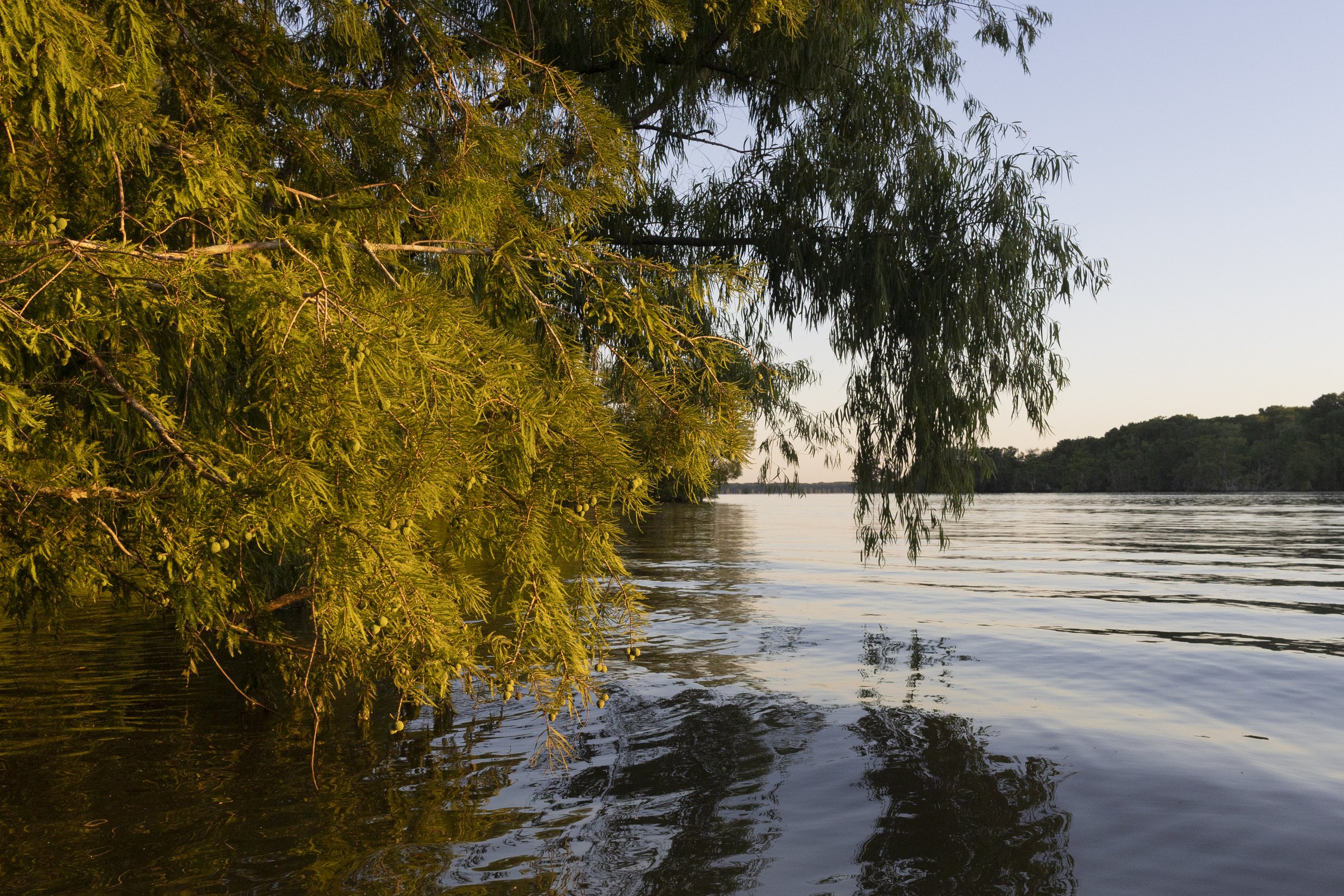
In time, the lakes that remained inside the Basin silted up and gradually disappeared, buried under the volume of silt constantly washing through, with all that water being funneled through the Spillway. Those lakes are hardly even lakes anymore. If you look on a map, the area that once was Grand Lake is now land instead of water. The two smaller lakes on the outside of the levee—Lake Dauterive and Lake Fausse Pointe—were essentially unchanged. Today you can visit them and see for yourself what the Atchafalaya Basin was like centuries ago.
Lake Fausse Pointe State Park is a six thousand acre site straddling St. Martin and Iberia Parishes. The park is notable for the access it provides to Lake Dauterive, Lake Fausse Pointe and the surrounding wetland wilderness, and for the cabins, campsites, trails and other recreational areas it offers.

Waterfront cabin rental
Facilities include fifty units for camping in tents or trailers, each equipped with water and electricity. Eighteen waterfront vacation cabins featuring screened porches, air conditioning and piers are enormously popular throughout the year.
Backpack campsites are located a walkable distance from the park entrance. Each campsite provides a table or a bench, a tent pad and a fire ring. Five primitive canoe campsites are located throughout the maze of waterways, all three miles or less from the entrance station. One of the canoe campsites is on an island.
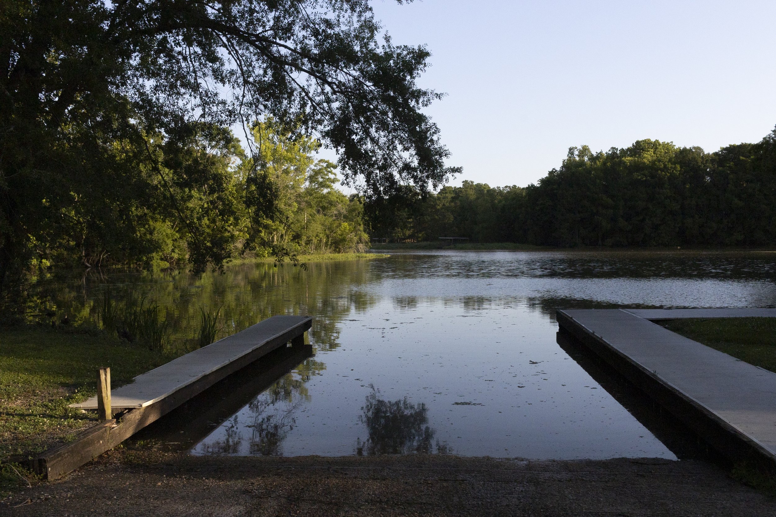
Boat launch
A network of hiking and biking trails winds through the park, leading visitors through a variety of terrains—marshy areas with cypress knees and aquatic vegetation, hilly banks near surrounding waterways, and cypress, willow, ash and palmetto forests.
A boat launch located near the entrance station provides access to the lakes and smaller waterways that surround the park. Canoes, kayaks and fishing boats are available for rental, and an extensive network of well-marked water trails have been designated for public use.

Canoe and kayak rentals
Lake Fausse Pointe State Park is located south of I-10, approximately 18 miles northeast of St. Martinville on the West Atchafalaya Protection Levee Road. To access the Levee Road from St. Martinville, take LA 96 to LA 679, then to LA 3083. Turn right onto Levee Road for 8 miles.