

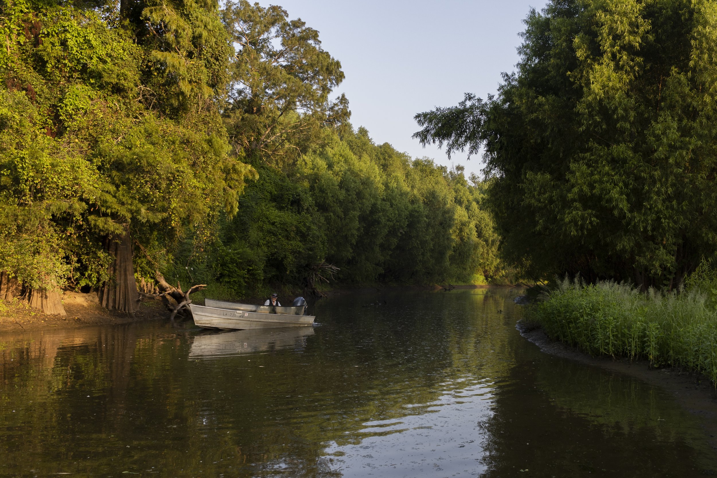
Cocodrie
Cocodrie is a small native bayou in the Atchafalaya Basin. From the Catahoula Boat Ramp, a pipeline canal provides access to the stream-like bayou and its satellite bays—Bay Toni, Bay Barron and others. You could say Cocodrie actually refers more to the general area than to any one body of water, especially as the network of waterways changes with the river stage, certain areas becoming accessible only during periods of high water.
The name of the bayou has an interesting history, especially when you realize that there is a mismatch between what people call it—Cocodrie—and what appears on maps—Crocodile Bayou. When Spanish-speaking settlers, not being zoologists, encountered alligators in the wilderness of eighteenth century Louisiana, they named the creatures for the Old World animals they most closely resembled. Cocodrilo is Spanish for crocodile, so that was the name they gave to the American alligator. And the word worked its way into the fabric of the language, evolving into cocodrie under the influence of French, which is why today in Louisiana if someone says cocodrie they’re not talking about crocodiles. They’re talking about alligators.

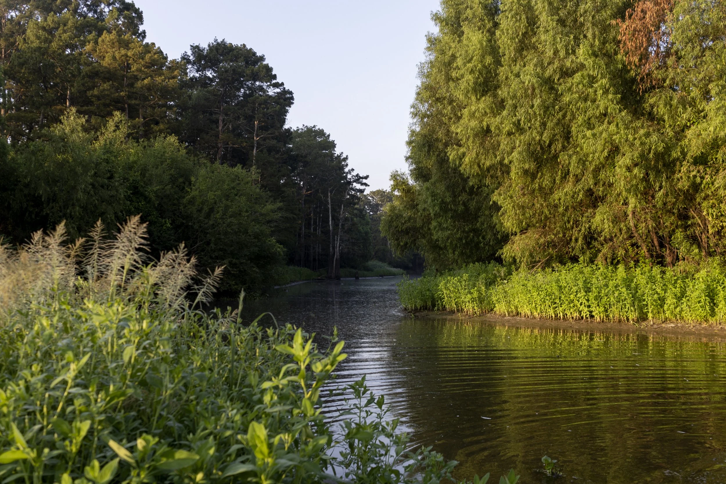
Slough at the southern end of Cocodrie
Then when English-speaking mapmakers made maps of the area in the nineteenth century, they learned of a place called Cocodrie and mistakenly translated it into English as Crocodile. This map of the Atchafalaya Basin, prepared for Union forces by order of Major General Nathaniel P. Banks in 1863, may very well be the exact moment of that first mistranslation. South-southeast of Catahoula Lake, beyond the blue lagoon, beyond the olive cypress brake, notice the stream-like body of water funneling into Lake Rond. When Cocodrie first appeared on a map, it wasn’t labeled Cocodrie. It was labeled Crocodile. And from that point forward there was a split between what the bayou was called by locals and how the bayou was labeled on maps.
