

Bayou Berard
Two bayous run between Catahoula and Henderson—Bayou Berard and Bayou Mercier. Both receive water from Bayou Amy and drain into Catahoula Lake. They just take different paths along the way. And the twin bayous have different personalities. Bayou Mercier, the way it snakes across the landscape, is the shadier of the two. Bayou Berard is broad and sunny.

Like many waterways in Louisiana, both bayous are partly native and partly man-made. When the West Atchafalaya Basin Protection Levee was being built across St. Martin Parish in the 1930’s, engineers worked with existing bayous and waterways when they designed the dredging and drainage plans. The borrow canal for the levee was joined to Bayou Mercier, a small native bayou naturally draining into Catahoula Lake. A mile to its west, a second waterway was dredged to create what would come to be called Bayou Berard Drainage Canal, or more simply, Bayou Berard.
Today, while Bayou Mercier counts many permanent residents along its banks, Bayou Berard counts none, and far from the traffic of the levee road, Bayou Berard is quieter too. The bayou routinely floods, especially as snow melt and spring rains start to funnel down from the north, widening the bayou’s width by up to twenty feet. Development along the seven-mile-long bayou is limited to agricultural purposes, with crawfish ponds and sugar cane fields intermixed with native forest all between Catahoula and Grand Bois.

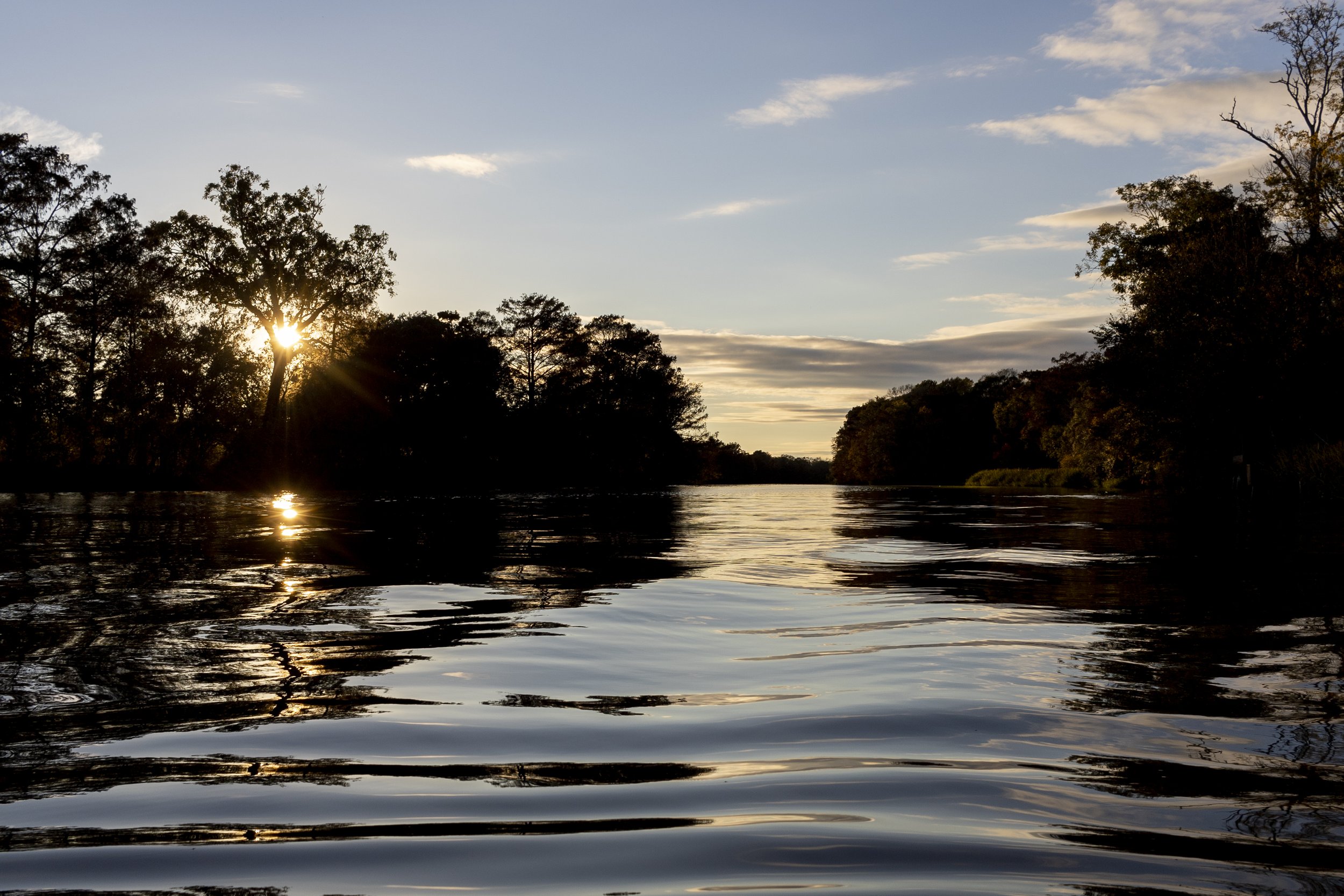
Sunset on Bayou Berard
There are no public access points directly onto Bayou Berard. From the public boat launch in Catahoula Park, it’s a mile and a half to the northern end of Catahoula Lake, where it bends to become Bayou Berard. From the Bayou Amy Boat Launch, the cut to Bayou Berard is two miles east of Henderson.