

Catahoula Island
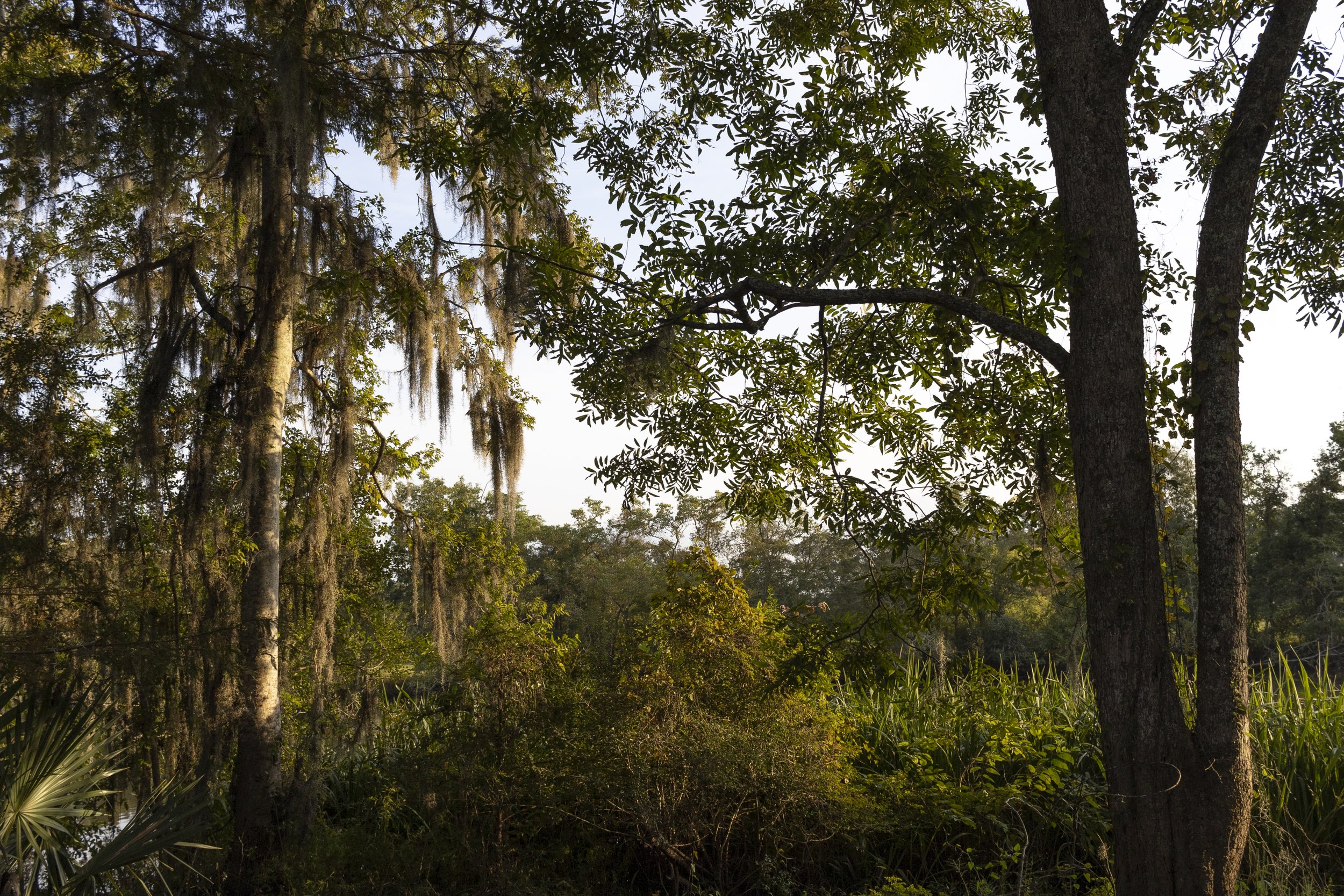
There’s an island in eastern St. Martin Parish at the edge of the Atchafalaya Basin. It doesn’t have a name, and most people don’t even know that it’s there. When you look at it on a map you can clearly see how the long fingerlike land mass is encircled by water—two thin ribboning bayous, Bayou Berard and Bayou Mercier, diverging at its northern tip, snaking down either side of it, then joining up again where they flow into Catahoula Lake at the island’s southern tip—but it’s not that obviously an island when you’re standing on it. Southern Louisiana is so crisscrossed with water, it’s possible to be on an island and not know it. In fact, I visited this small island once a week for thirty years before I realized I was visiting an island.

My dad and his siblings grew up on this island, where Bayou Mercier bends toward Catahoula Lake. My grandmother would ferry them across the lake in a boat so they could walk to the school in Catahoula. It was there, on this island, that he and his brother started a sugar cane farm. I remember driving back and forth to the island several times a week when I was a young boy. My mom would pack a picnic, and my dad would take a lunch break, and we’d spread out a blanket under the bell of a live oak. On weekends, we’d pick blackberries where the canals drained into the bayou. I baited fishhooks on the island, hunted Easter eggs on the island, picked pecans on the island, drove a tractor on the island, completely unaware that the island was an island.

I knew that my dad’s sugar cane farm was across the lake from our house, and I knew we always went over at least two bridges to get there—the big bridge across Catahoula Lake, then either the concrete bridge by Red’s Levee Bar or the haunted wooden one by the levee, where the levee makes a sharp bend before continuing on to Butte La Rose—I’d just never put two and two together. Then I heard my dad refer to it as an island one day. Then I heard Miss Dot tell the story of how when she was a young girl, she and her sisters would pack a picnic on Sundays and travel by pirogue to the island.
Then when my dad took us by boat around the island—literally all the way around it, starting at Catahoula Lake at the island’s southern tip, going up Bayou Mercier toward the island’s northern tip, then down Bayou Berard all the way back to the lake—what up to then had been only a shape on a map and a vague sense of how bridges were inevitably involved became a first-hand experience of its islandness.
